
Super Typhoon BAVI is expected to enter the Philippine Area of Responsibility (PAR) on either Tuesday evening, July 7, or Wednesday morning, July 8, according to the state weather bureau PAGASA.
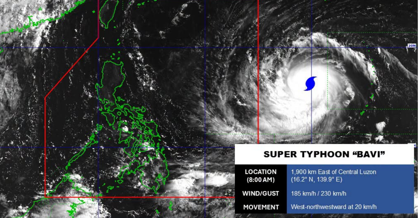
Photo: PAGASA/Facebook
Here are some important reminders to keep in mind:
Updates from PAGASA
According to an 8:00 AM advisory on Tuesday, July 7, Super Typhoon Bavi (local name Inday) was being monitored outside PAR.
The super typhoon was estimated to be 1,900 kilometers (km) east of Central Luzon, moving northwestward at 20 kilometers per hour (kph), with maximum sustained winds of 195 kph and gusts up to 230 kph.
Another weather advisory issued at 11:00 AM stated that heavy rainfall due to the southwest monsoon (habagat) may affect Antique, Negros Occidental, Sultan Kudarat, and Sarangani from Wednesday noon, July 8, to Thursday noon, July 9.
Meanwhile, Occidental Mindoro, Palawan, Antique, Guimaras, Iloilo, Negros Occidental, Lanao del Norte, and Lanao del Sur may also experience heavy rainfall due to the southwest monsoon from Thursday noon, July 9, to Friday noon, July 10.
Moreover, forecasted rainfall may be higher in mountainous and elevated areas.
The public is advised to take all necessary measures to protect life and property. At the same time, everyone is encouraged to continue monitoring official weather updates as forecasts may change.
To stay updated with the latest advisories, head to PAGASA’s official Facebook page.
ALSO READ: Jodi Sta. Maria on Filipino Resilience Amid Typhoons: “This shouldn’t be our only story”