As the season gets ever warmer when in Manila, the usual “up and down” day hike would probably not cut it anymore. A slow and steady hike, topped off with a refreshing swim is just what is perfect this season! For this type of day hike adventure, a hike up the trails of Mt. Daraitan ending at the popular Tinipak River was my choice.
Mt. Daraitan with Trail Adventours
Mt. Daraitan is not an overly difficult mountain to hike by any standard. At 739 meters above sea level and with established trails, it will only take about two hours or so to reach the summit. To prolong the experience with nature, our team, led by professional adventure guides Marvin Madrista and Allan Rebuta from Trail Adventours, picked a longer and more scenic route that bumped up our hike time to about three hours.
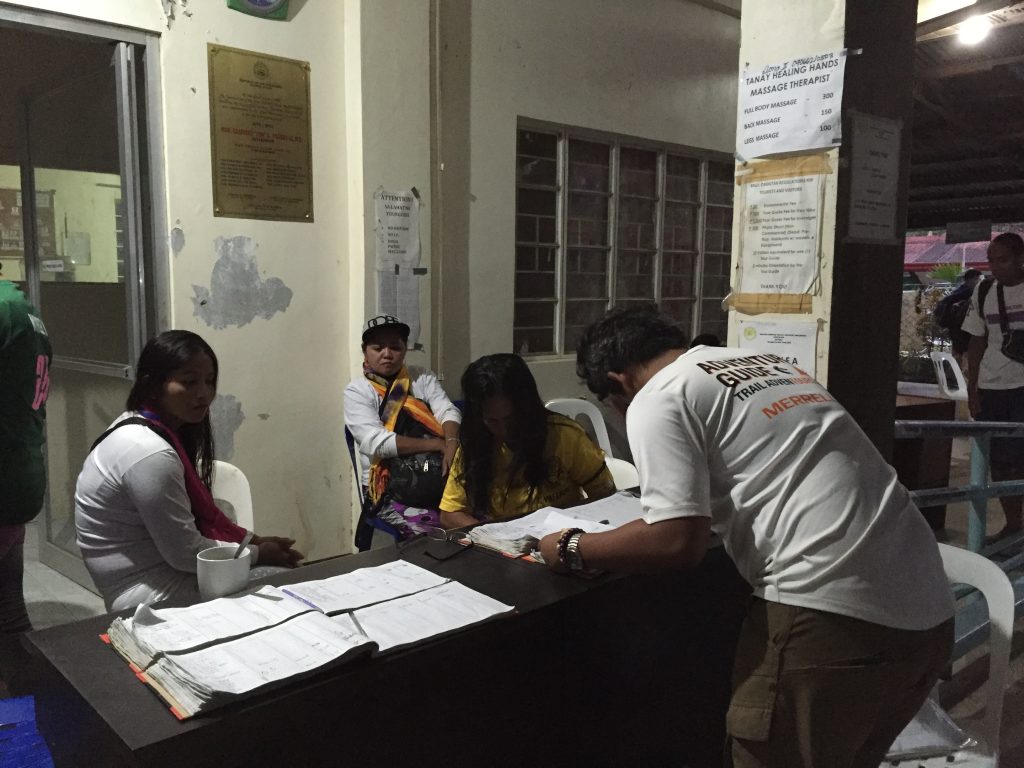
Located in Tanay, Rizal the Mt. Daraitan jump-off point is only about three hours away from Manila via private transportation. One of the things that struck me at the registration site at the base of the mountain was how organized and well-run things were. There were official (and trained) local guides, and they actually had official IDs and uniforms! There was a briefing conducted by the guides as well, an experience that is sadly quite rare with other near-Manila hiking trails.
Before we set off, our Trail Adventours team had everyone get to know each other first, and after a quick warm up session we were off!
The initial part of our (longer) route featured rocky trails, and before long one member of our hiking group lost the sole of his shoe to the rocks. Our Trail Adventours guides quickly patched it up using good old duct tape and know-how and the fix actually lasted until the end of the whole trip!
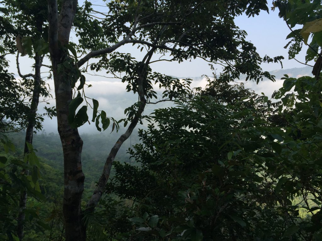
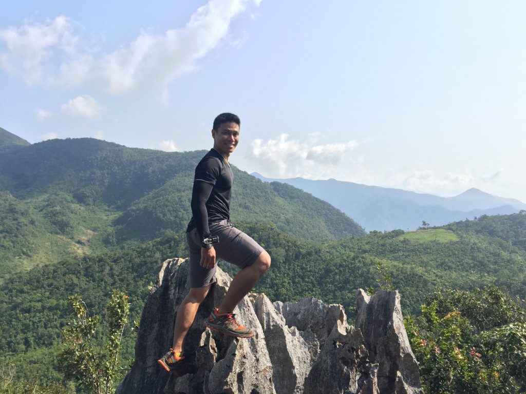
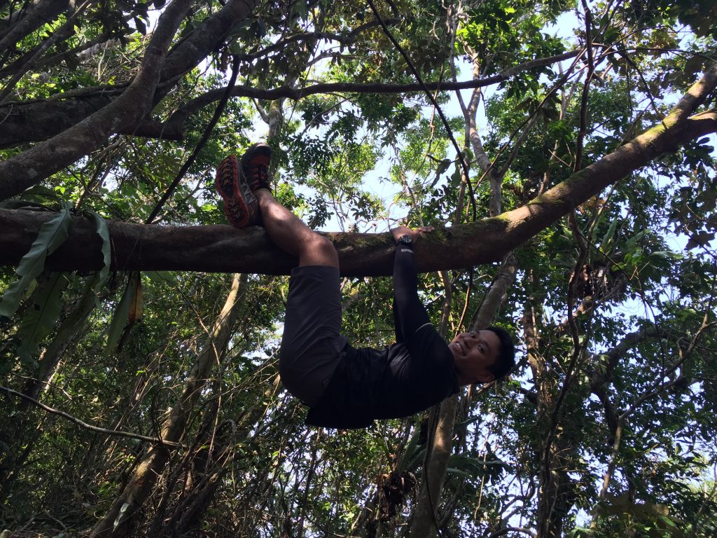
The majority of the Mt. Daraitan trail is covered, and this was a blessing since it was a really hot and sunny day during our trip. The tree cover overhead meant it was a reasonably comfortable hike, and the mostly challenging parts were towards the summit as the trails became steeper. There were also rocky outcrops that afforded us great photo-ops (and obviously, we did!)

