Our ever so tropical Philippines is blessed with over 7,000 unique islands that compromise the archipelago. Every island has its own distinct beauty and edge – from hovering mountains, breathtaking valleys, steep hills and magnificent plains that stretch miles across, all offer nothing less of the best landscape views of the country, especially the rural areas.
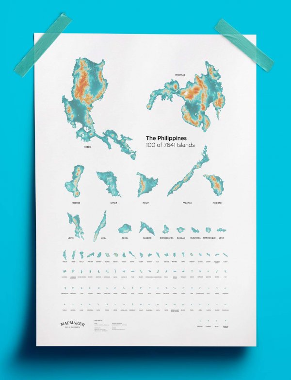
A photo uploaded on Facebook page Mapmaker indicated how this map of the 100 biggest islands contains colors “from green to white and orange” that “exhibit the transition from the plains to the valleys, hills and mountains of the archipelago”. The artist is David Garcia.
DOWNLOAD THE FILE FOR FREE HERE
The data sources are also credited on his maps.
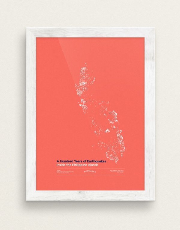
Just a couple of days ago, the page also uploaded a map of a hundred years of earthquakes that hit the country. That includes the drastic 1990 Luzon earthquake, in case you’re wondering!
DOWNLOAD THE FILE FOR FREE HERE
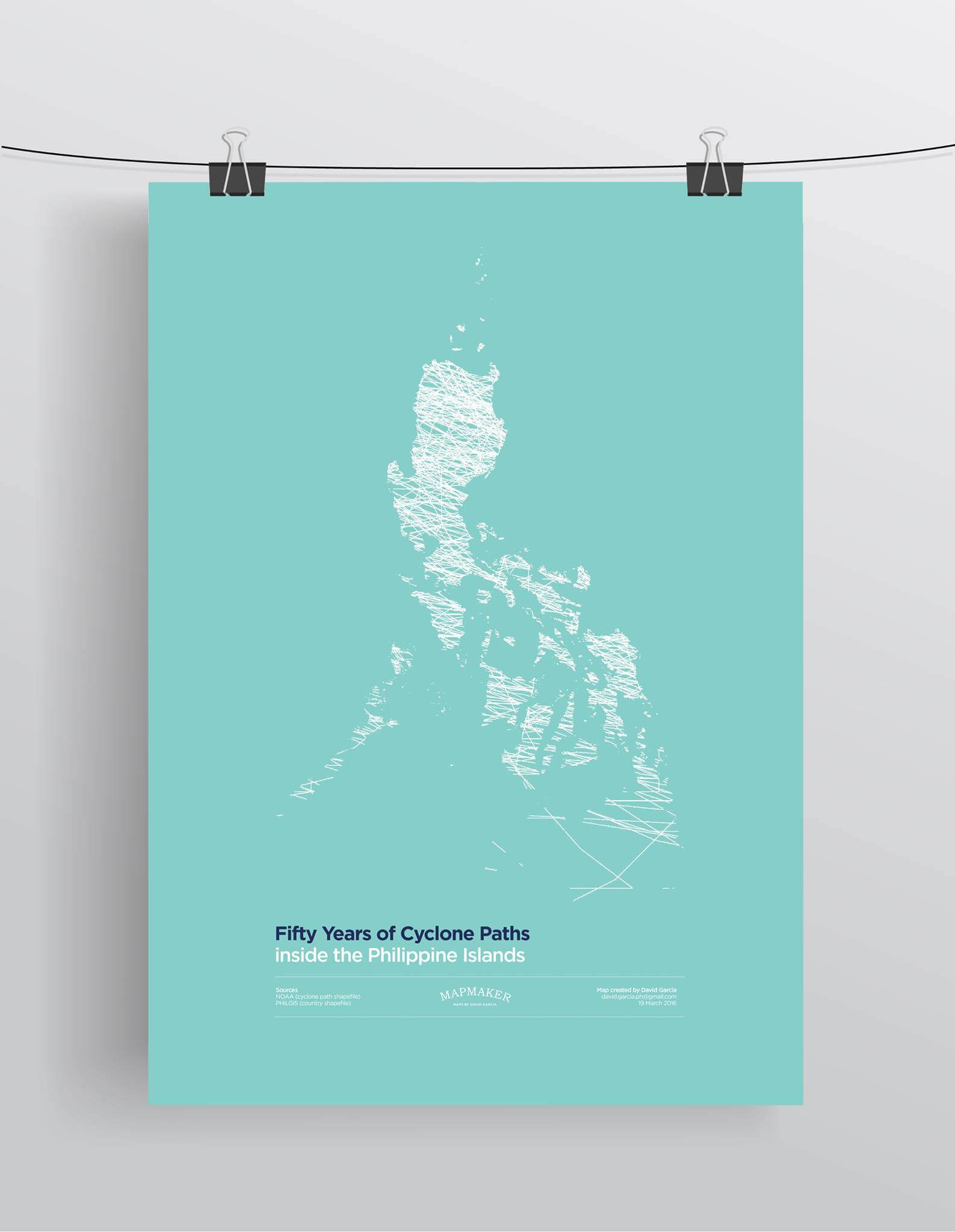
Also, with the typhoon season in full swing, the illustrator also made a map about the “hazards posed by the storms and typhoons that crossed the archipelago for the past fifty years”.
DOWNLOAD THE FILE FOR FREE HERE
You can also reach out to David Garcia, the artist, to know more about MAPMAKER at david.garcia.ph@gmail.com.
Isn’t this cool? You can download the high-resolution maps here and here!
Disclaimer: WheninManila.com does not own these photos. Credits go to Mapmaker.


